Historic images and maps associated with Stoke Ferry 170826
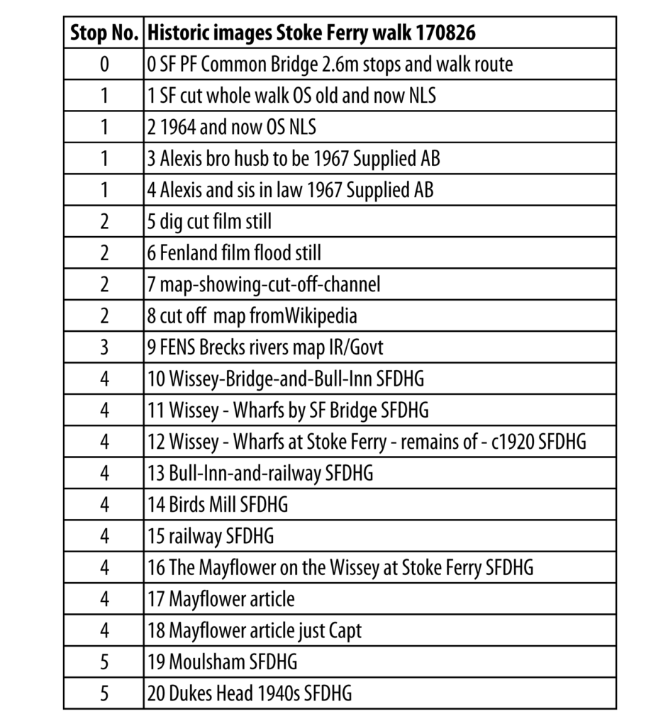
See below a list of the images, or download list of images (PDF), and download walk plan with route info, information and links on Places of Interest along the route (Word.docx 6 pages)
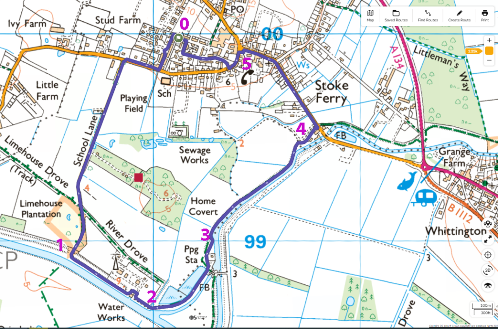
Map of route followed on the walk 170826, with points to stop to talk about history
Historic images and maps:
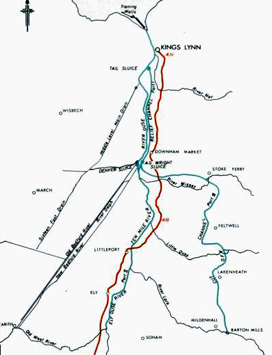
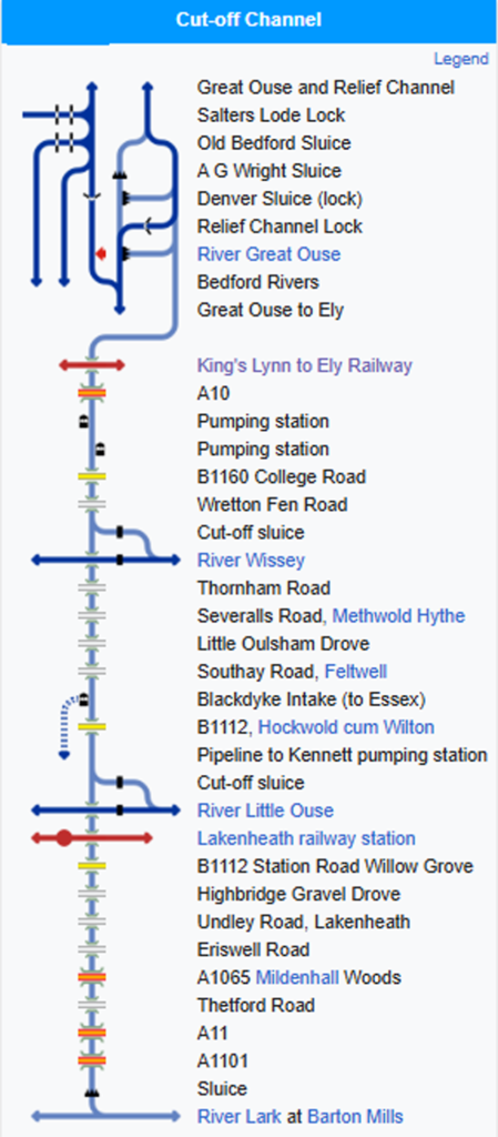
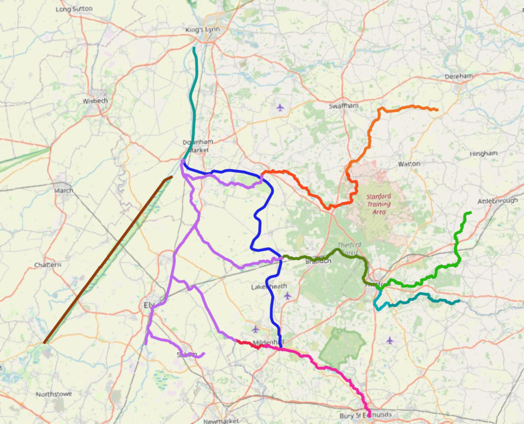
Rivers and the three new flood relief channels built 1954-1964, map of the Fens/Fen Edge and Brecks (Cut Off Channel in blue. Purple is Great Ouse and lower sections of the rivers Wissey, Little Ouse and Lark.) Map used in talks on the river including to the Inland Waterways Association.
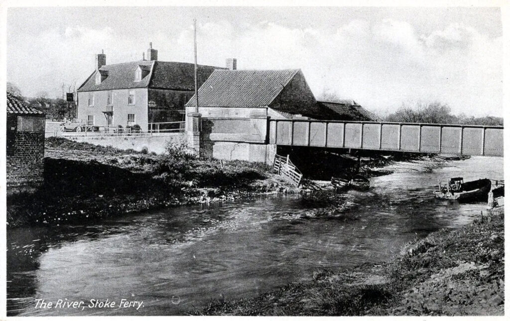
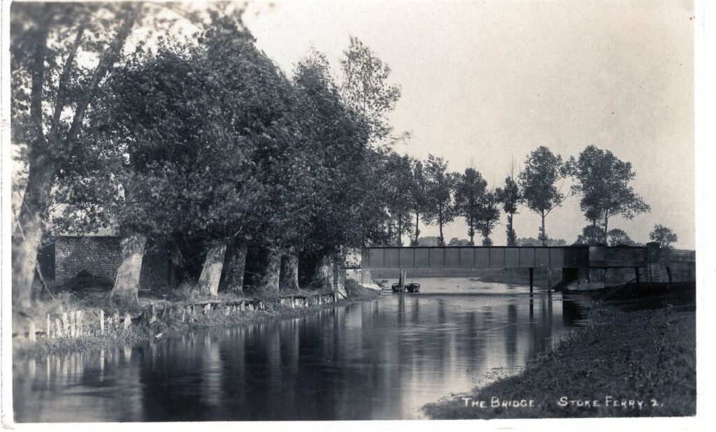
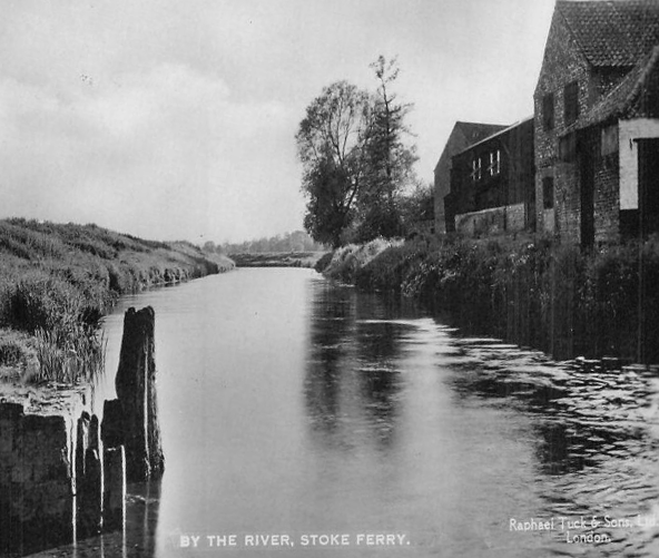
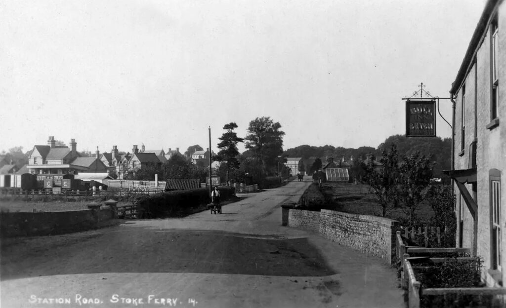
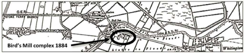
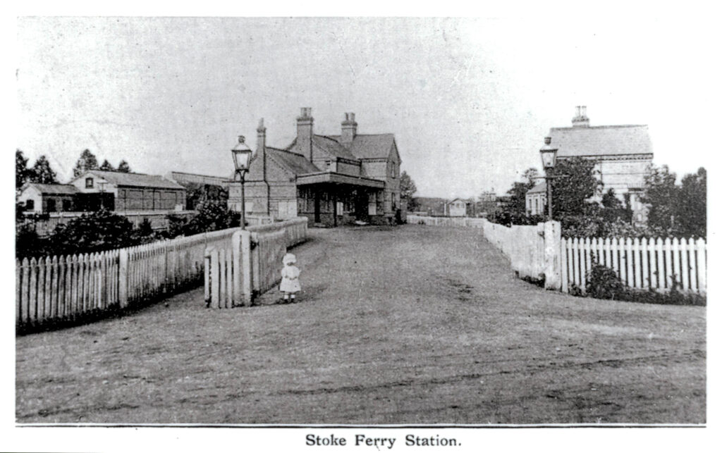
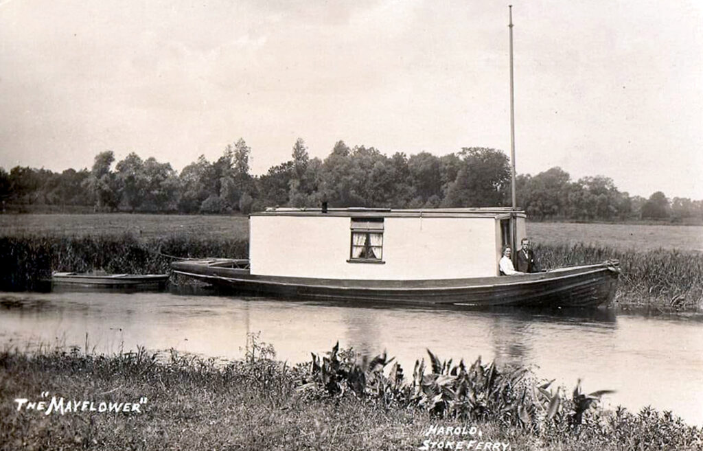
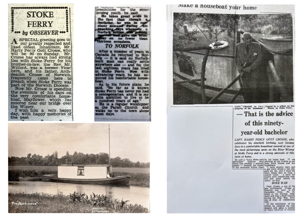
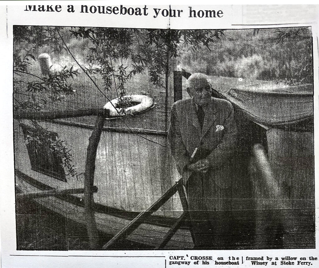
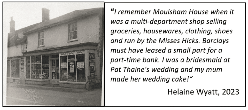
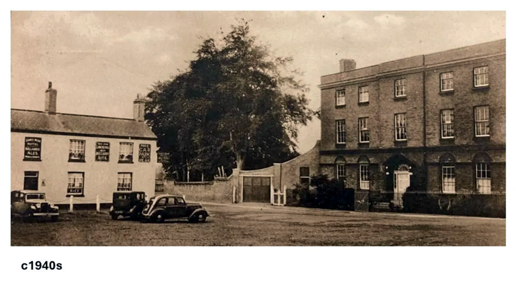
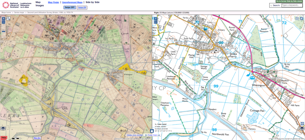
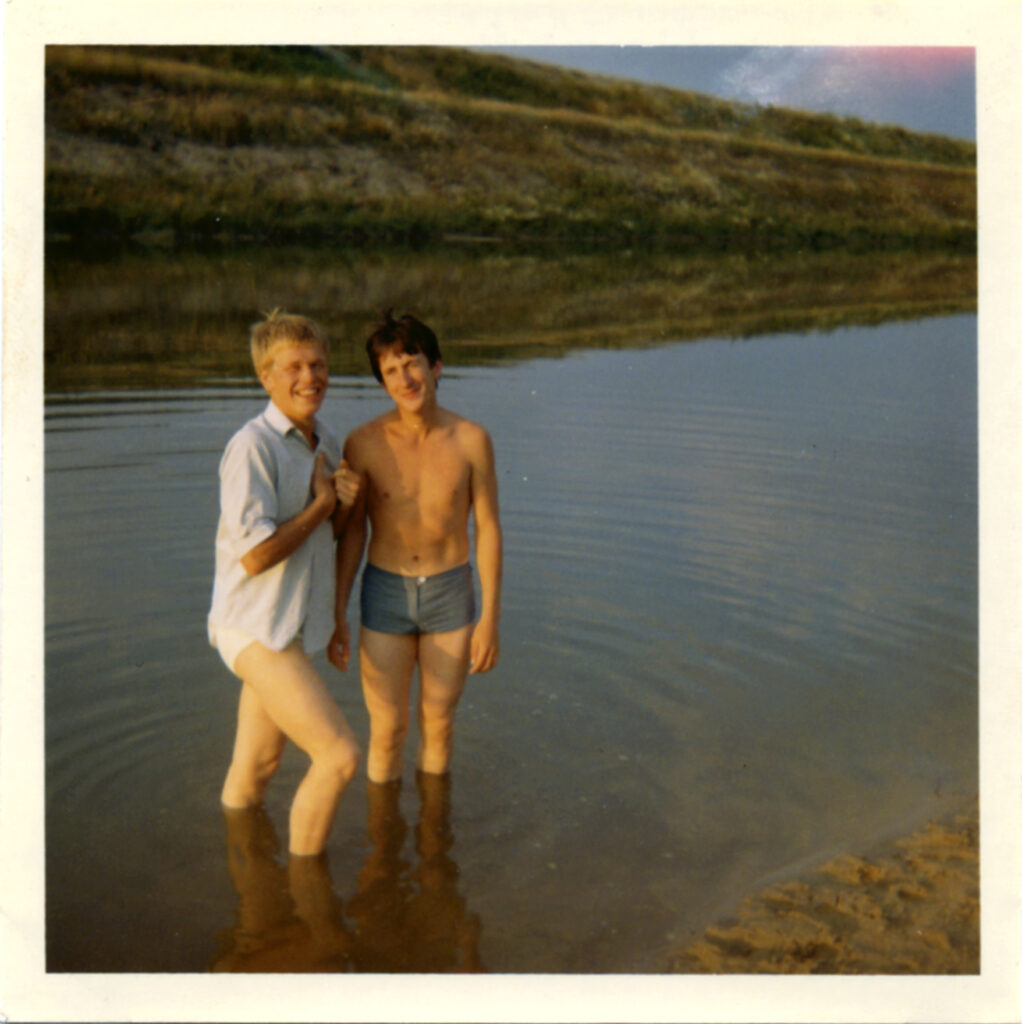
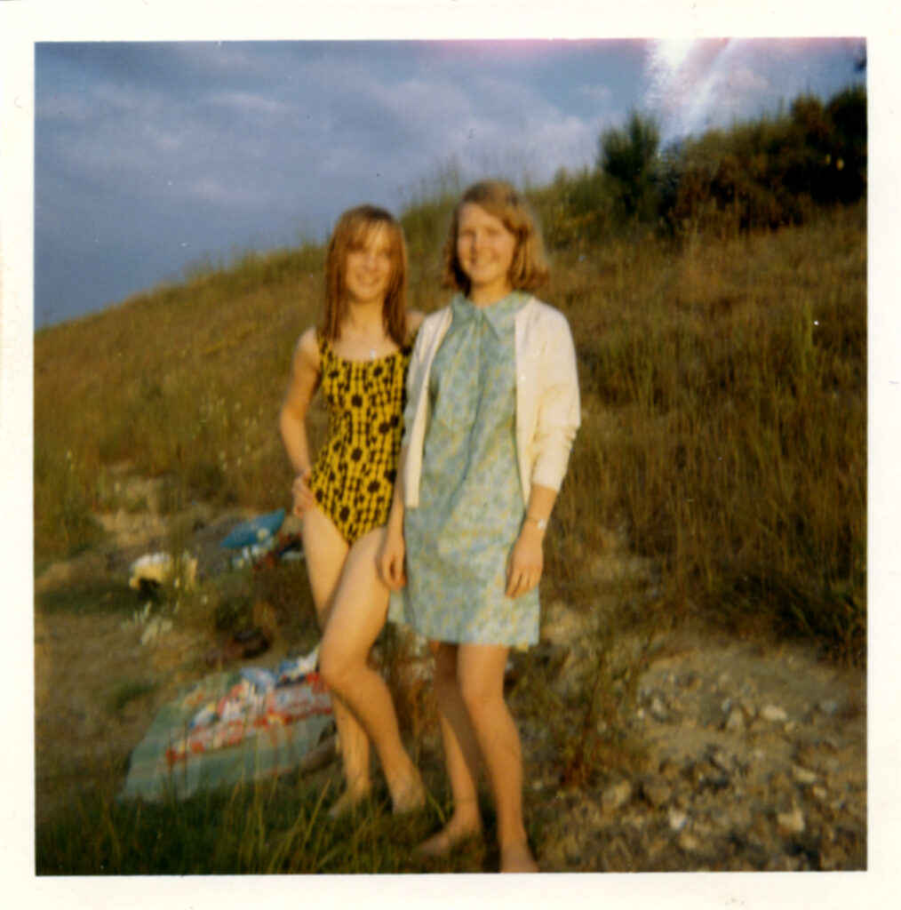
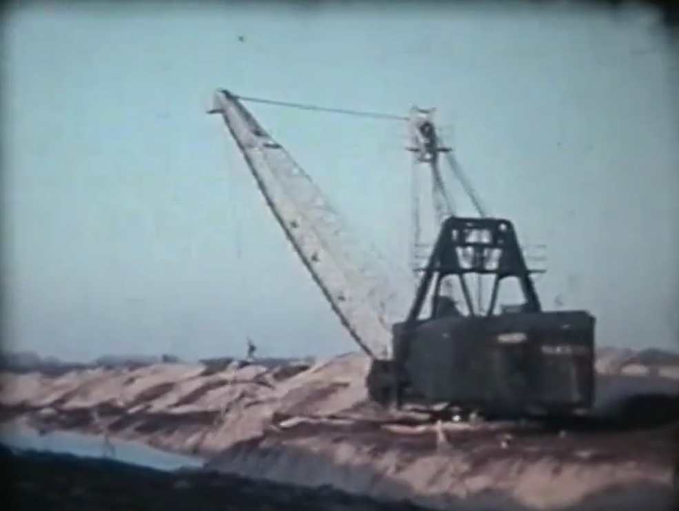
List of images and maps (thanks to Stoke Ferry and District Local History Group (SFDHG) for many of the images):